


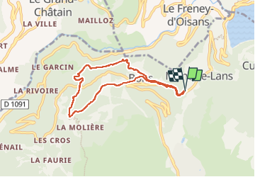

8.6 km | 14.5 km-effort

User


FREE GPS app for hiking
 SityTrail
IGN / Geographical institutes
SityTrail World
The world is yours!
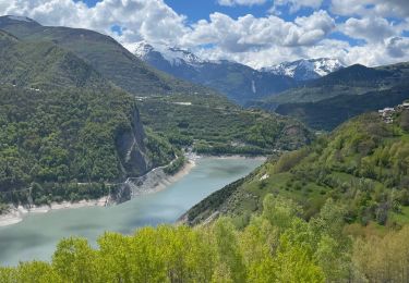
Trail Walking of 6.9 km to be discovered at Auvergne-Rhône-Alpes, Isère, Les Deux Alpes. This trail is proposed by parastat.
Entre Bons et la porte un peu de prudence avec de jeunes enfants.
Le parking à Mont de Lans ajoute un peu de route mais reste bien pratique.
Beaucoup de sous-bois: agréable par temps chaud


Walking
Electric bike
Walking
Walking
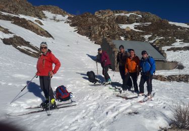
Touring skiing
Touring skiing
Walking

Other activity

Via ferrata